
Topografische Karte Ивањица
Interaktive Karte
Klicken Sie auf die Karte, um die Höhe anzuzeigen.
Über diese Karte
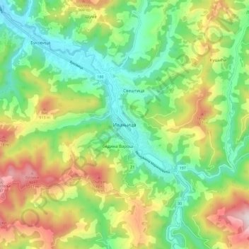
Name: Topografische Karte Ивањица, Höhe, Relief.
Ort: Ивањица, Моравички управни округ, Zentralserbien, Serbien (43.54167 20.19045 43.62167 20.27045)
Durchschnittliche Höhe: 670 m
Minimale Höhe: 417 m
Maximale Höhe: 1.098 m