Geolokalisieren

Topografische Karte City of Ekurhuleni Metropolitan Municipality

Interaktive Karte

Klicken Sie auf die Karte, um die Höhe anzuzeigen.

Über diese Karte

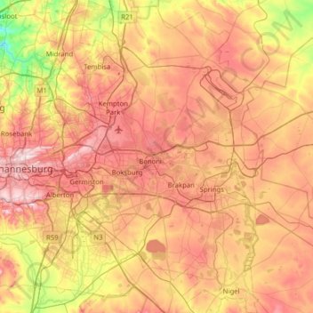
Name: Topografische Karte City of Ekurhuleni Metropolitan Municipality, Höhe, Relief.

Ort: City of Ekurhuleni Metropolitan Municipality, Gauteng, Südafrika (-26.46558 28.06561 -25.90338 28.52715)

Durchschnittliche Höhe: 1.588 m

Minimale Höhe: 1.360 m

Maximale Höhe: 1.808 m

Andere topografische Karten

Klicken Sie auf eine Karte, um ihre Topografie, ihre Höhe und ihr Relief anzuzeigen.

Johannesburg Ward 97

Südafrika > Gauteng > Roodepoort

Johannesburg Ward 97, Roodepoort, City of Johannesburg Metropolitan Municipality, Gauteng, 2040, Südafrika

Durchschnittliche Höhe: 1.582 m

City of Johannesburg Metropolitan Municipality

Südafrika > Gauteng

City of Johannesburg Metropolitan Municipality, Gauteng, Südafrika

Durchschnittliche Höhe: 1.582 m