
Topografische Karte Malaiische Halbinsel
Interaktive Karte
Klicken Sie auf die Karte, um die Höhe anzuzeigen.
Über diese Karte
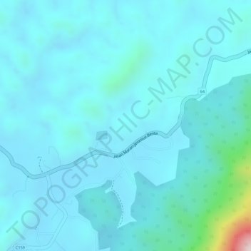
Name: Topografische Karte Malaiische Halbinsel, Höhe, Relief.
Ort: Malaiische Halbinsel, 64, Benta, Lipis, Pahang, Malaysia (3.99995 101.99995 4.00005 102.00005)
Durchschnittliche Höhe: 131 m
Minimale Höhe: 78 m
Maximale Höhe: 538 m