

Topografische Karte Sanday
Klicken Sie auf die Karte, um die Höhe anzuzeigen.
Sanday
In the mid-17th century an annexe to Blaeu's Atlas Novus of Scotland recorded that Sanday's low lying topography meant that "shipwreck often occurs to those who sail there at night. The inhabitants of Sanday earnestly and often desire this to happen, so that they get a supply of material for fire from the wrecked ships". The writer went on to state that the lack of peat meant that dried seaweed was "saved like treasure" for cooking fires and that only the better-off citizens could afford to bring peat from Eday "over the most fearful sea".
Über diese Karte
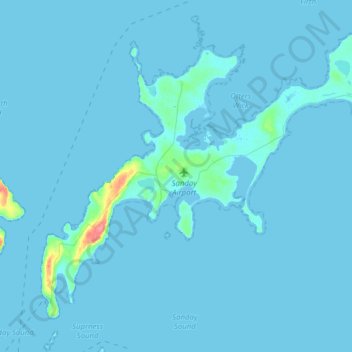
Name: Topografische Karte Sanday, Höhe, Relief.
Ort: Sanday, Kettletoft, Orkney Islands, Scotland, United Kingdom (59.18433 -2.70174 59.31266 -2.39001)
Durchschnittliche Höhe: 2 m
Minimale Höhe: -1 m
Maximale Höhe: 65 m