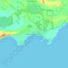
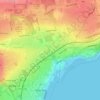
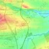
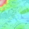
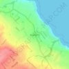
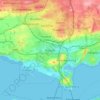
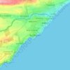
Topografische Karte Inverkeithing
Klicken Sie auf die Karte, um die Höhe anzuzeigen.
Inverkeithing
Topographically, Inverkeithing is situated on a raised terrace sloping down towards Inverkeithing Bay, which cuts into the south of the town, separating it from the North Queensferry Peninsula. The town is bounded to the west by Castlandhill and to the east by Letham Hill, a 324 ft coastal hill and woodland.
Über diese Karte
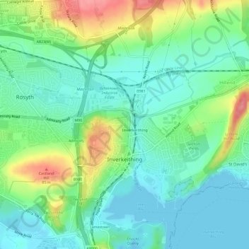
Name: Topografische Karte Inverkeithing, Höhe, Relief.
Ort: Inverkeithing, Fife, Scotland, United Kingdom (56.01937 -3.40889 56.05128 -3.36979)
Durchschnittliche Höhe: 28 m
Minimale Höhe: -5 m
Maximale Höhe: 91 m
Andere topografische Karten
Klicken Sie auf eine Karte, um ihre Topografie, ihre Höhe und ihr Relief anzuzeigen.
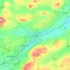
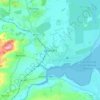
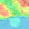
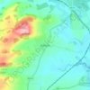
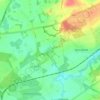
Kirkcaldy
United Kingdom > Scotland > Fife
Towards the end of the 16th century, a detailed assessment on the size of the townscape was carried out. The first estimate of the parish population in 1639 was between 3,000 and 3,200 and around 3,400 by 1691. At the beginning of the 18th century, the population declined. A census by Webster's Topographical…
Durchschnittliche Höhe: 50 m










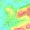
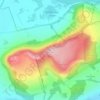


Kellie Castle
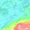
United Kingdom > Scotland > Fife > Arncroach > Newton of Balcormo
Durchschnittliche Höhe: 69 m






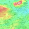
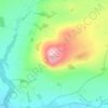
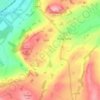

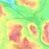
Run Free Secure Dog Fields
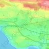
United Kingdom > Scotland > Fife > Inverkeithing
Durchschnittliche Höhe: 38 m


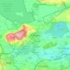

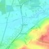
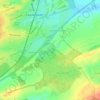
Kirkcaldy
United Kingdom > Scotland > Fife
Towards the end of the 16th century, a detailed assessment on the size of the townscape was carried out. The first estimate of the parish population in 1639 was between 3,000 and 3,200 and around 3,400 by 1691. At the beginning of the 18th century, the population declined. A census by Webster's Topographical…
Durchschnittliche Höhe: 50 m