
Topografische Karte Nestani
Interaktive Karte
Klicken Sie auf die Karte, um die Höhe anzuzeigen.
Nestani
It is situated at the foot of the mountain Artemisio, at about 700 m elevation. It was the seat of the former municipality Mantineia. The community Nestani also contains the village of Milea. Nestani is 11 km east of Kapsas, 13 km southwest of Lyrkeia (Argolis) and 14 km northeast of Tripoli. The Moreas Motorway (Corinth–Tripoli-Kalamata/Sparta) passes west of the village.
Über diese Karte
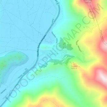
Name: Topografische Karte Nestani, Höhe, Relief.
Durchschnittliche Höhe: 827 m
Minimale Höhe: 623 m
Maximale Höhe: 1.422 m