
Topografische Karte Guéret
Interaktive Karte
Klicken Sie auf die Karte, um die Höhe anzuzeigen.
Über diese Karte
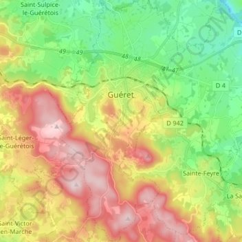
Name: Topografische Karte Guéret, Höhe, Relief.
Durchschnittliche Höhe: 473 m
Minimale Höhe: 308 m
Maximale Höhe: 689 m
Guéret has an oceanic climate (Köppen Cfb) influenced by its elevation and proximity to the Bay of Biscay's maritime inflow of Gulf Stream air. As a result, the climate is mild for its latitude, wet and also relatively gloomy.