
Topografische Karte Pasto
Klicken Sie auf die Karte, um die Höhe anzuzeigen.
Über diese Karte
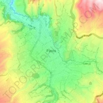
Name: Topografische Karte Pasto, Höhe, Relief.
Ort: Pasto, Centro, Nariño, Colombia (1.18024 -77.30949 1.24680 -77.24340)
Durchschnittliche Höhe: 2.668 m
Minimale Höhe: 2.357 m
Maximale Höhe: 3.158 m
Andere topografische Karten
Klicken Sie auf eine Karte, um ihre Topografie, ihre Höhe und ihr Relief anzuzeigen.