

Topografische Karte Canvey Island
Klicken Sie auf die Karte, um die Höhe anzuzeigen.
Canvey Island
In 1607 the Elizabethan antiquarian William Camden noted in his work Britannia (a topographical and historical survey of all of Great Britain and Ireland) that Canvey Island (which he called Island Convennon) was documented in the 2nd century by the Alexandrian geographer Ptolemy. In his work Geographia, Ptolemy mentions a headland in the mouth of the Thames to the east of the Trinovantes region called Counus Island. However, the difficulties faced in determining the location of land areas in Ptolemy's ancient work have led modern researchers to question the correlation between Ptolemy's island and contemporary Canvey. MacBean and Johnson, 18th-century historians, contend that Counus Island would have existed much further out to sea (or may even have been the Isle of Sheppey), so any similarity between the names is mere coincidence. Without any suitable island matching Ptolemy's Counus Island, 20th-century historians White and Yearsley posit the documented island to have been lost or reduced to an insignificant sandbank by subsidence and the constant effects of the sea.
Über diese Karte
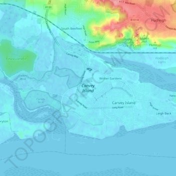
Name: Topografische Karte Canvey Island, Höhe, Relief.
Durchschnittliche Höhe: 10 m
Minimale Höhe: -3 m
Maximale Höhe: 85 m