
Topografische Karte Pinedale
Interaktive Karte
Klicken Sie auf die Karte, um die Höhe anzuzeigen.
Über diese Karte
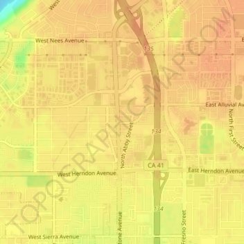
Name: Topografische Karte Pinedale, Höhe, Relief.
Durchschnittliche Höhe: 107 m
Minimale Höhe: 78 m
Maximale Höhe: 114 m
Pinedale is a previously unincorporated community in Fresno County, California. It lies at an elevation of 348 feet (106 m). It was once a rural community located on the Southern Pacific Railroad 3.5 miles (5.6 km) north-northwest of Clovis but has since become surrounded and annexed by the city of Fresno. Millerton Lake State Recreational Area is to its NE. The ZIP Code is 93650, and the community is inside area code 559.
Andere topografische Karten
Klicken Sie auf eine Karte, um ihre Topografie, ihre Höhe und ihr Relief anzuzeigen.
Sunnyside
United States > California > Fresno County > Fresno
Sunnyside, Fresno, Fresno County, California, 93727, United States
Durchschnittliche Höhe: 101 m
Woodward Park
United States > California > Fresno County > Fresno
Woodward Park, Fresno, Fresno County, California, United States
Durchschnittliche Höhe: 103 m