
Topografische Karte Pinewood Forest
Interaktive Karte
Klicken Sie auf die Karte, um die Höhe anzuzeigen.
Über diese Karte
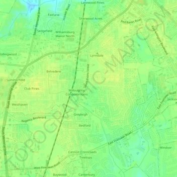
Name: Topografische Karte Pinewood Forest, Höhe, Relief.
Durchschnittliche Höhe: 23 m
Minimale Höhe: 12 m
Maximale Höhe: 28 m
Andere topografische Karten
Klicken Sie auf eine Karte, um ihre Topografie, ihre Höhe und ihr Relief anzuzeigen.
Sedgefield
United States > North Carolina > Pitt County > Greenville
Sedgefield, Greenville, Pitt County, North Carolina, 28950, United States
Durchschnittliche Höhe: 22 m
Westhaven
United States > North Carolina > Pitt County > Greenville
Westhaven, Greenville, Pitt County, North Carolina, 28590, United States
Durchschnittliche Höhe: 23 m
Hillsdale
United States > North Carolina > Pitt County > Greenville
Hillsdale, Greenville, Pitt County, North Carolina, 27834, United States
Durchschnittliche Höhe: 20 m
Hartington and Williams
United States > North Carolina > Pitt County > Greenville
Hartington and Williams, Greenville, Pitt County, North Carolina, 27858, United States
Durchschnittliche Höhe: 13 m
Biltmore
United States > North Carolina > Pitt County > Greenville > Biltmore
Biltmore, Greenville, Pitt County, North Carolina, 27834, United States
Durchschnittliche Höhe: 13 m