
Topografische Karte Kanchipuram
Interaktive Karte
Klicken Sie auf die Karte, um die Höhe anzuzeigen.
Über diese Karte
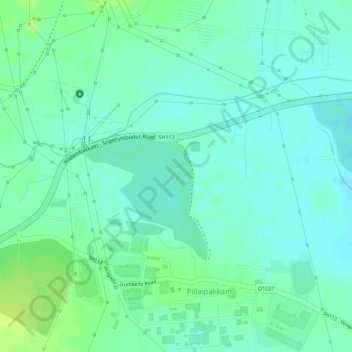
Name: Topografische Karte Kanchipuram, Höhe, Relief.
Durchschnittliche Höhe: 32 m
Minimale Höhe: 25 m
Maximale Höhe: 41 m
The Palar river is the most important river running through the district. Through most of the year it remains dry, attributed to the construction of dams across the river in Andhra Pradesh. There are only a few hills of considerable elevation in the district. The southern part of Maduranthakam taluk contains small hills. The total forest area in the district is 23,586 hectares.