
Topografische Karte Las Brisas
Interaktive Karte
Klicken Sie auf die Karte, um die Höhe anzuzeigen.
Über diese Karte
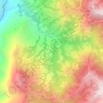
Name: Topografische Karte Las Brisas, Höhe, Relief.
Durchschnittliche Höhe: 2.038 m
Minimale Höhe: 1.626 m
Maximale Höhe: 2.364 m
Andere topografische Karten
Klicken Sie auf eine Karte, um ihre Topografie, ihre Höhe und ihr Relief anzuzeigen.
Río Chinchiná
Colombia > Caldas > Villamaría
Río Chinchiná, Villamaría, Centrosur, Caldas, 170008, Colombia
Durchschnittliche Höhe: 1.966 m
Cabecera Municipal Villamaría
Colombia > Caldas > Villamaría
Cabecera Municipal Villamaría, Villamaría, Centrosur, Caldas, RAP del Agua y la Montaña, 176001, Colombia
Durchschnittliche Höhe: 1.950 m