
Topografische Karte Tangail
Interaktive Karte
Klicken Sie auf die Karte, um die Höhe anzuzeigen.
Über diese Karte
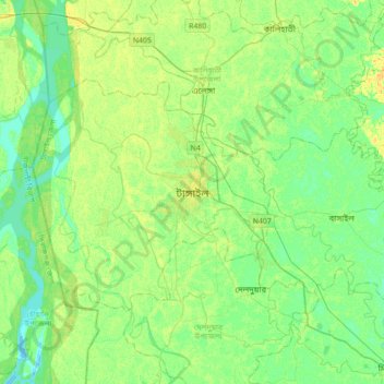
Name: Topografische Karte Tangail, Höhe, Relief.
Durchschnittliche Höhe: 11 m
Minimale Höhe: 2 m
Maximale Höhe: 24 m
Tangail was a popular local business centre since the early 19th century. But the name came on focus when the headquarter of a subdivision of the Greater Mymensingh District was shifted in 1860 from Atia to there due to its fertility and high elevation near Louhajong River. At the same time, The subdivision was named as Tangail.