

Topografische Karte Dah
Klicken Sie auf die Karte, um die Höhe anzuzeigen.
Dah
Traveling up the Dah stream, there are several summer habitations, which the inhabitants of Dha occupy for a short time or longer depending on their elevation. While descending, the first areas to appear are Dunder, Cilgiadi, and Cumavcings, which has cultivated fields. The valley stretching along the Dah stream to its source is a large area. In ancient times, this area was the Minaro summer pasture Nirda. The Nirda pasture is a lovely location. Brokpa worship a large juniper tree festooned with prayer flags as Chilligi Deuha, a shrine (juniper shrine).
Über diese Karte
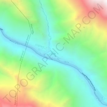
Name: Topografische Karte Dah, Höhe, Relief.
Ort: Dah, Khalsi tehsil, Leh, Ladakh, India (34.60381 76.46042 34.64381 76.50042)
Durchschnittliche Höhe: 3.301 m
Minimale Höhe: 2.686 m
Maximale Höhe: 4.554 m