
Topografische Karte Mount Satima
Interaktive Karte
Klicken Sie auf die Karte, um die Höhe anzuzeigen.
Über diese Karte
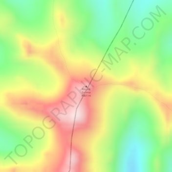
Name: Topografische Karte Mount Satima, Höhe, Relief.
Ort: Mount Satima, Ndaragwa, Nyandarua, Zentral, Kenia (-0.30608 36.61780 -0.30598 36.61790)
Durchschnittliche Höhe: 3.805 m
Minimale Höhe: 3.607 m
Maximale Höhe: 3.997 m