
Topografische Karte Tenkiller Ferry Lake
Interaktive Karte
Klicken Sie auf die Karte, um die Höhe anzuzeigen.
Tenkiller Ferry Lake
The hydroelectric power station is remotely controlled from the control center at Fort Gibson Lake. Two generators, each rated for 17 megawatts, provide a total capacity of 34 megawatts (MWe). The facility can handle 40 MWe for a short period of time. However, the amount of power that can actually be generated depends heavily on the lake elevation at any given time.
Über diese Karte
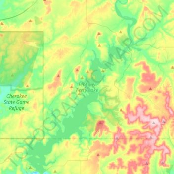
Name: Topografische Karte Tenkiller Ferry Lake, Höhe, Relief.
Durchschnittliche Höhe: 258 m
Minimale Höhe: 150 m
Maximale Höhe: 448 m