
Topografische Karte Craigston
Klicken Sie auf die Karte, um die Höhe anzuzeigen.
Über diese Karte
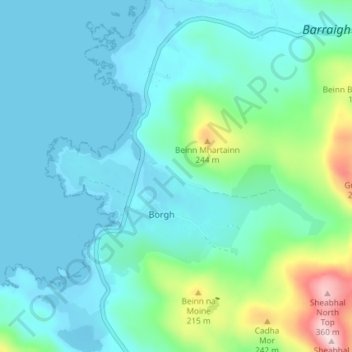
Name: Topografische Karte Craigston, Höhe, Relief.
Durchschnittliche Höhe: 66 m
Minimale Höhe: -3 m
Maximale Höhe: 373 m
Andere topografische Karten
Klicken Sie auf eine Karte, um ihre Topografie, ihre Höhe und ihr Relief anzuzeigen.
Barra
United Kingdom > Scotland > Western Isles > Borve
The highest elevation on the island is Heaval, near the top of which is a prominent white marble statue of the Madonna and Child, called "Our Lady of the Sea", which was erected during the Marian year of 1954. The predominant faith on the island is Catholicism and the Catholic church dedicated to Our Lady of…
Durchschnittliche Höhe: 27 m