
Topografische Karte Casais Martanes
Interaktive Karte
Klicken Sie auf die Karte, um die Höhe anzuzeigen.
Über diese Karte
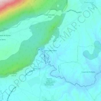
Name: Topografische Karte Casais Martanes, Höhe, Relief.
Durchschnittliche Höhe: 131 m
Minimale Höhe: 58 m
Maximale Höhe: 555 m
Andere topografische Karten
Klicken Sie auf eine Karte, um ihre Topografie, ihre Höhe und ihr Relief anzuzeigen.
Aire
Portugal > Santarém > Torres Novas
Aire, Torres Novas, Santarém, 2495-079, Portugal
Durchschnittliche Höhe: 553 m
Vargos
Portugal > Santarém > Torres Novas
Vargos, Olaia e Paço, Torres Novas, Santarém, 2350-177, Portugal
Durchschnittliche Höhe: 115 m
Rendufas da Mata
Portugal > Santarém > Torres Novas
Rendufas da Mata, Chancelaria, Torres Novas, Santarém, 2350-077, Portugal
Durchschnittliche Höhe: 106 m