
Topografische Karte Rancho Santa Fe
Interaktive Karte
Klicken Sie auf die Karte, um die Höhe anzuzeigen.
Über diese Karte
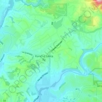
Name: Topografische Karte Rancho Santa Fe, Höhe, Relief.
Durchschnittliche Höhe: 68 m
Minimale Höhe: 6 m
Maximale Höhe: 331 m
The climate of Rancho Santa Fe is, for the most part, typical of the San Diego metropolitan area though its higher elevation and inland location lends itself to larger temperature variations.