

Topografische Karte Georgetown
Klicken Sie auf die Karte, um die Höhe anzuzeigen.
Georgetown
The city is located on the northeastern edge of Texas Hill Country. Portions of Georgetown are located on either side of the Balcones Escarpment, a fault line in which the areas roughly east of IH-35 are flat and characterized by having black, fertile soils of the Blackland Prairie, and the west side of the escarpment which consists mostly of hilly, karst-like terrain with little topsoil and higher elevations and which is part of the Texas Hill Country. Inner Space Cavern, a large cave, is a major tourist attraction found on the south side of the city, just west of Interstate 35, and is a large-scale example of limestone karst formations.
Über diese Karte
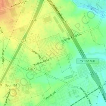
Name: Topografische Karte Georgetown, Höhe, Relief.
Ort: Georgetown, Williamson County, Texas, United States (30.66650 -97.66000 30.67646 -97.64954)
Durchschnittliche Höhe: 219 m
Minimale Höhe: 200 m
Maximale Höhe: 236 m