
Topografische Karte Coalinga
Interaktive Karte
Klicken Sie auf die Karte, um die Höhe anzuzeigen.
Coalinga
Coalinga is located 52 miles (84 km) southwest of Fresno, at an elevation of 673 feet (205 m). The topography is generally level, suitable for a number of field crops which do not require large amounts of water. It is located near the eastern foothills of the Diablo Range.
Über diese Karte
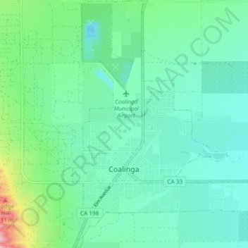
Name: Topografische Karte Coalinga, Höhe, Relief.
Ort: Coalinga, Fresno County, California, United States (36.12052 -120.37562 36.18044 -120.32175)
Durchschnittliche Höhe: 216 m
Minimale Höhe: 180 m
Maximale Höhe: 347 m