
Topografische Karte Batote
Interaktive Karte
Klicken Sie auf die Karte, um die Höhe anzuzeigen.
Batote
Batote is located on the national highway NH 44 from Jammu to Srinagar at 33°06′N 75°19′E / 33.10°N 75.32°E / 33.10; 75.32. It has an average elevation of 1,555 metres (6,584 feet).
Über diese Karte
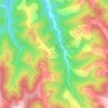
Name: Topografische Karte Batote, Höhe, Relief.
Durchschnittliche Höhe: 728 m
Minimale Höhe: 464 m
Maximale Höhe: 986 m