
Topografische Karte Bardhaman
Klicken Sie auf die Karte, um die Höhe anzuzeigen.
Bardhaman
The region has an average elevation of 40 metres (131 ft). The city is situated 1100 km from New Delhi and a little less than 100 km north-west of Kolkata on the Grand Trunk Road (National Highway 19) and Eastern Railway. The chief rivers are the Damodar and the Banka.
Über diese Karte
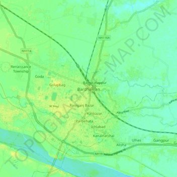
Name: Topografische Karte Bardhaman, Höhe, Relief.
Ort: Bardhaman, Burdwan - I, Purba Bardhaman, West Bengal, India (23.20900 87.82010 23.29048 87.92412)
Durchschnittliche Höhe: 31 m
Minimale Höhe: 23 m
Maximale Höhe: 40 m