
Topografische Karte Willeskop
Interaktive Karte
Klicken Sie auf die Karte, um die Höhe anzuzeigen.
Über diese Karte
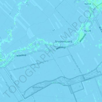
Name: Topografische Karte Willeskop, Höhe, Relief.
Ort: Willeskop, Montfoort, Utrecht, Nederland, 3425 TC, Nederland (52.00361 4.88886 52.04361 4.92886)
Durchschnittliche Höhe: -1 m
Minimale Höhe: -5 m
Maximale Höhe: 3 m
Willeskop is sinds 2002 ook een nieuw natuurontwikkelingsgebied dat in de Lopikerwaard ter hoogte van de Bloklandse Dijk ligt.
Andere topografische Karten
Klicken Sie auf eine Karte, um ihre Topografie, ihre Höhe und ihr Relief anzuzeigen.
Huis Te Linschoten
Nederland > Utrecht > Montfoort
Huis Te Linschoten, Montfoort, Utrecht, Nederland, 3461AC, Nederland
Durchschnittliche Höhe: 0 m