
Topografische Karte Anginda
Interaktive Karte
Klicken Sie auf die Karte, um die Höhe anzuzeigen.
Über diese Karte
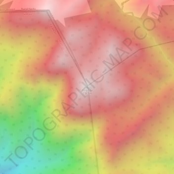
Name: Topografische Karte Anginda, Höhe, Relief.
Ort: Anginda, Mannarkad, Palakkad district, Kerala, India (11.18742 76.45833 11.18752 76.45843)
Durchschnittliche Höhe: 2.041 m
Minimale Höhe: 1.405 m
Maximale Höhe: 2.355 m
Andere topografische Karten
Klicken Sie auf eine Karte, um ihre Topografie, ihre Höhe und ihr Relief anzuzeigen.
Kottathara
Kottathara, Mannarkad, Palakkad District, Kerala, India
Durchschnittliche Höhe: 549 m
Mannarkkad
Mannarkkad, Mannarkad, Palakkad District, Kerala, 678582, India
Durchschnittliche Höhe: 80 m
Silent Valley National Park
Silent Valley National Park, Mannarkad, Palakkad district, Kerala, India
Durchschnittliche Höhe: 1.103 m
Kalladikode
Kalladikode, Mannarkad, Palakkad District, Kerala, 678596, India
Durchschnittliche Höhe: 101 m